Safe Streets and Roads for All
Back
Latest Update (11/28/2023)
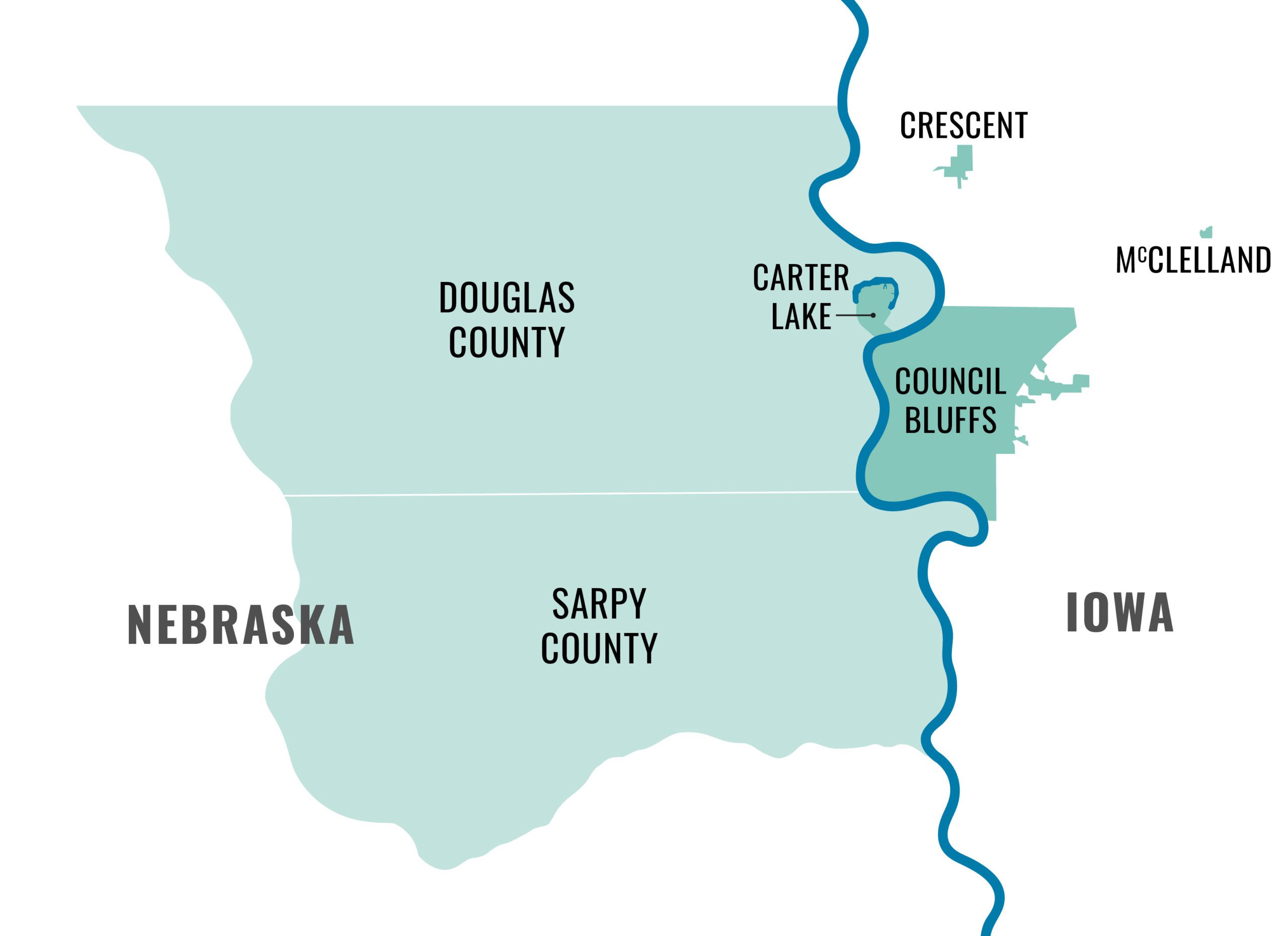
MAPA is currently in the consultant selection and negotiation process for the consultant-led projects to conduct public outreach, provide data support, and develop the regional Comprehensive Safety Action Plan (CSAP). Work on these projects is anticipated to begin in early Spring 2024. This plan will include Douglas and Sarpy Counties in Nebraska, as well as the cities of Council Bluffs, Carter Lake, Crescent and McClelland in Iowa. Strategies and projects included in the CSAP will be eligible for future implementation funding.
Contact MAPA at safestreets@mapacog.org with any questions!
The City of Omaha’s Vision Zero Action Plan (VZAP) is complete and available at www.omahavisionzero.com. MAPA was excited to be able to support plan development, and looks forward to plan implementation. The MAPA CSAP will incorporate the Omaha VZAP, and extend the safety planning process to the remainder of the MAPA SS4A Study Area. Through a separate SS4A Planning grant, Pottawattamie County will also be developing a Local Road Safety Plan which will cover the unincorporated areas within the county; this will also be considered during CSAP development.
Finally, MAPA is excited to share the results of the Iowa and Nebraska Vulnerable Road User Safety Assessments. This new assessment, established as a requirement by the Infrastructure Investment and Jobs Act, supplements the existing state Strategic Highway Safety Planning process, and provides greater insight and statewide recommendations for improving safety for vulnerable road users (non-motorists) who share the roads with vehicles.
Iowa Vulnerable Road User Safety Assessment
Nebraska Vulnerable Road User Safety Assessment (Appendix A)
Update (09/06/2023)
The request for qualifications for interested consultants to conduct public outreach, provide data support, and to develop the MAPA Comprehensive Safety Action Plan (CSAP) is now open. Interested consultants should review the associated RFQ documents here. The process of selecting consultants is expected to take several months with a goal of beginning the formal planning process in March of 2024.
Alongside this regional safety planning process, important statewide plans are being developed. Both Nebraska and Iowa are in the process of developing Vulnerable Road User Safety Assessments, which will be completed by mid-November. Nebraska updated its Strategic Highway Safety Plan (SHSP) and Iowa will release an updated plan later this year. You can find more information at the links below:
Nebraska Strategic Highway Safety Plan
Iowa Strategic Highway Safety Plan
Finally, MAPA has been very excited to support the City of Omaha in its Vision Zero Action Planning (VZAP) efforts, and look forward to plan approval. In parallel with MAPA planning, Pottawattamie County will be developing a Local Road Safety Plan through the Safe Streets and Roads for All grant program. In coordination with MAPA, the City of Omaha, and Pottawattamie County, the resulting CSAP will be consistent with, and supportive of, the City of Omaha Vision Zero Action Plan, and the Pottawattamie County Local Road Safety Plan (LRSP).
Update (02/06/2023)
The 2022 Safe Streets and Roads for All (SS4A) grant awardees have been announced, and MAPA was awarded $750,000 to develop a regional Comprehensive Safety Action Plan!
Over the next several months we will be reaching out to local jurisdictions and key stakeholders to build the team that will help us define our planning structure and highlight our key focus areas. Planning will start later this year with a goal to complete the Comprehensive Safety Action Plan next year and provide a list of regional safety projects for submission for implementation grants in 2025. Check this webpage or follow MAPA on social media for updates and other involvement opportunities!
Update (August 15, 2022)
Pottawattamie County is teaming up with the other 98 counties within Iowa in a Safe Streets and Roads for All planning application. This plan will address all county roads outside of city jurisdictions. The remaining jurisdictions (including the Cities of Carter Lake, Council Bluffs, Crescent, and McClelland) as well as the entirety of the Nebraska portion of the MAPA region will be included in our planning grant request this year, and in future year project implementation grant requests. MAPA will continue to work closely with Pottawattamie to ensure the our Comprehensive Safety Action Plan complements any Pottawattamie safety planning, particularly on Farm to Market roads and extensions within City jurisdiction boundaries.
What is it?
To address the dramatic rise in traffic deaths and serious injuries, the USDOT is making an ambitious long term goal of reaching zero deaths and serious injuries on the Nation’s highways, roads, and streets.
Why is it important?
“Safe Streets and Roads for All” (SS4A) is a competitive grant program that will provide 5 billion dollars over the next 5 years to improve traffic safety by supporting local communities in the development of safety action plans, and the implementation of projects which reduce traffic fatalities and serious injuries on the local road network.
Nationwide, traffic deaths are increasing at an alarming rate, particularly in disadvantaged and underrepresented communities. From 2016-2020 the MAPA region has seen a slightly lower overall increase, has experienced a higher rate of nonmotorist fatalities than the either Nebraska or Iowa state averages, and a disproportionately high impact on disadvantaged communities.
You can email us at safestreets@mapacog.org for more information, future updates, and opportunities to get involved.
You can explore the data here.
Links
Notification of 2022 Safe Streets and Roads for All Awardees
USDOT Safe Streets and Roads for All Homepage
MAPA’s Safe Streets and Roads for All Flier (Revised August 2, 2023)