MAPA releases interactive Regional Development Report
In a first of its kind assessment for MAPA, we have released our interactive Regional Development Report, which explores the Omaha-Council Bluffs metro area’s development patterns and provides insight into the decisions which influenced these patterns.
This report represents a new approach at MAPA, both in the data curated and in the sophistication of the presentation via visual data mapping through story maps.
It is the result of a long term objective to capture and present data spatially to summarize the information in its most informative and relevant format and create accountability for decision makers for equitable decisions.
Redevelopment
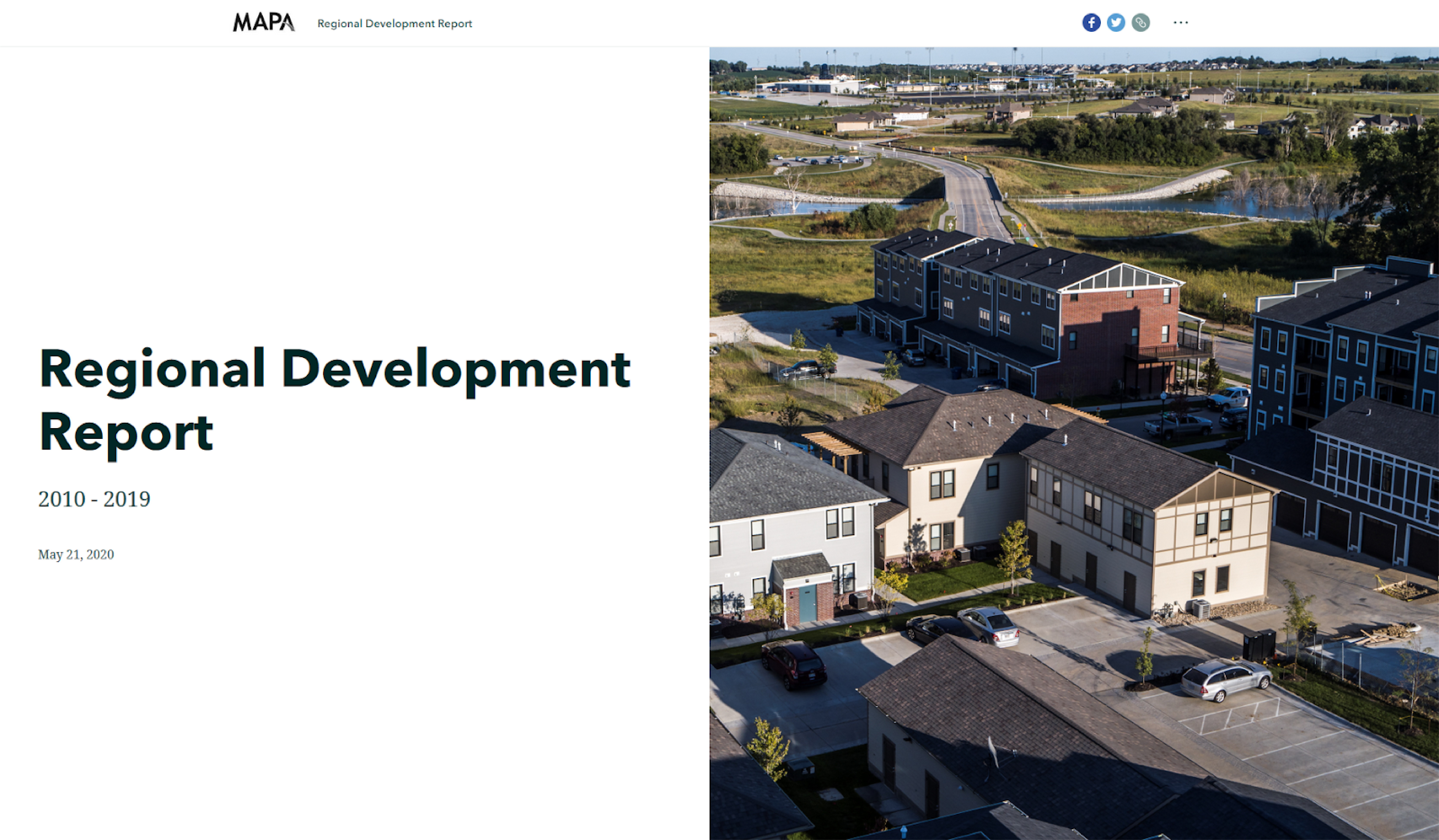
The development in greenfield areas generally includes large, single-family lots that consume more space and more resources. From the post WWII era until recent years, development in the region has primarily expanded outward as it followed the national trend of lower-density suburbanization aimed at households with children.
Taking advantage of redevelopment opportunities in the region will slow greenfield land consumption. Land use decisions that encourage compact development will utilize the greenfield areas we do develop more efficiently. The Heartland 2050 Vision called for increased compact growth and redevelopment as priorities for our future land consumption as higher density supports the fiscal health of our communities.
The revenues generated by this type of development exceed the costs of providing services, such as transportation infrastructure and sewers, to support this type of development. A future land use scenario that includes these assumptions found that locating one fifth of future development will achieve these goals.
Another scenario explored the results if even more future development was focused on areas that have high density and access to frequent transit service. This scenario, called the “High Transit Oriented Development” (High-TOD) scenario, would be achieved if one third of all future development occurred in redevelopment areas. Both of these approaches represent serious infrastructure cost savings.
In 2017 the City of Omaha received technical assistance from Smart Growth America to develop a market assessment to evaluate the fiscal impact of development and readiness for Transit Oriented Development (TOD).
This analysis looked at the cost of infrastructure such as roadways and utilities for typical development densities across the city. The findings indicate that only in high density areas is the fiscal impact of development a net positive– that is, where the revenue generated by development exceeds the new infrastructure costs.
An annual update to this report will provide a shared set of measures to track progress towards our land use and development goals. Here at MAPA we are committed to infusing the principles of Heartland 2050 in all of the work that we do. This report is an excellent example of upholding that promise.
View MAPA’s Regional Development Report at: mapacog.org/development