MAPA Planners Walk to Work
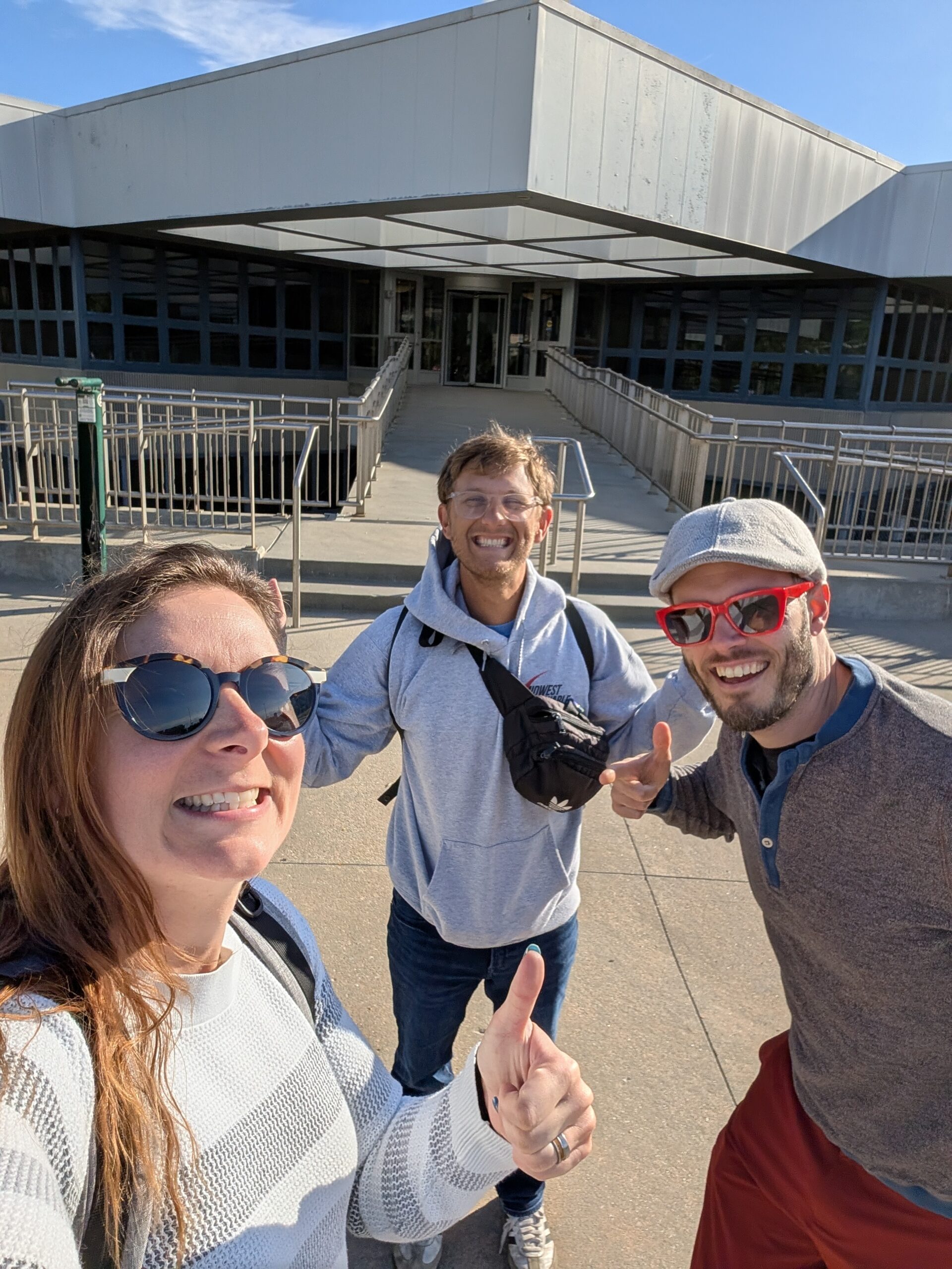
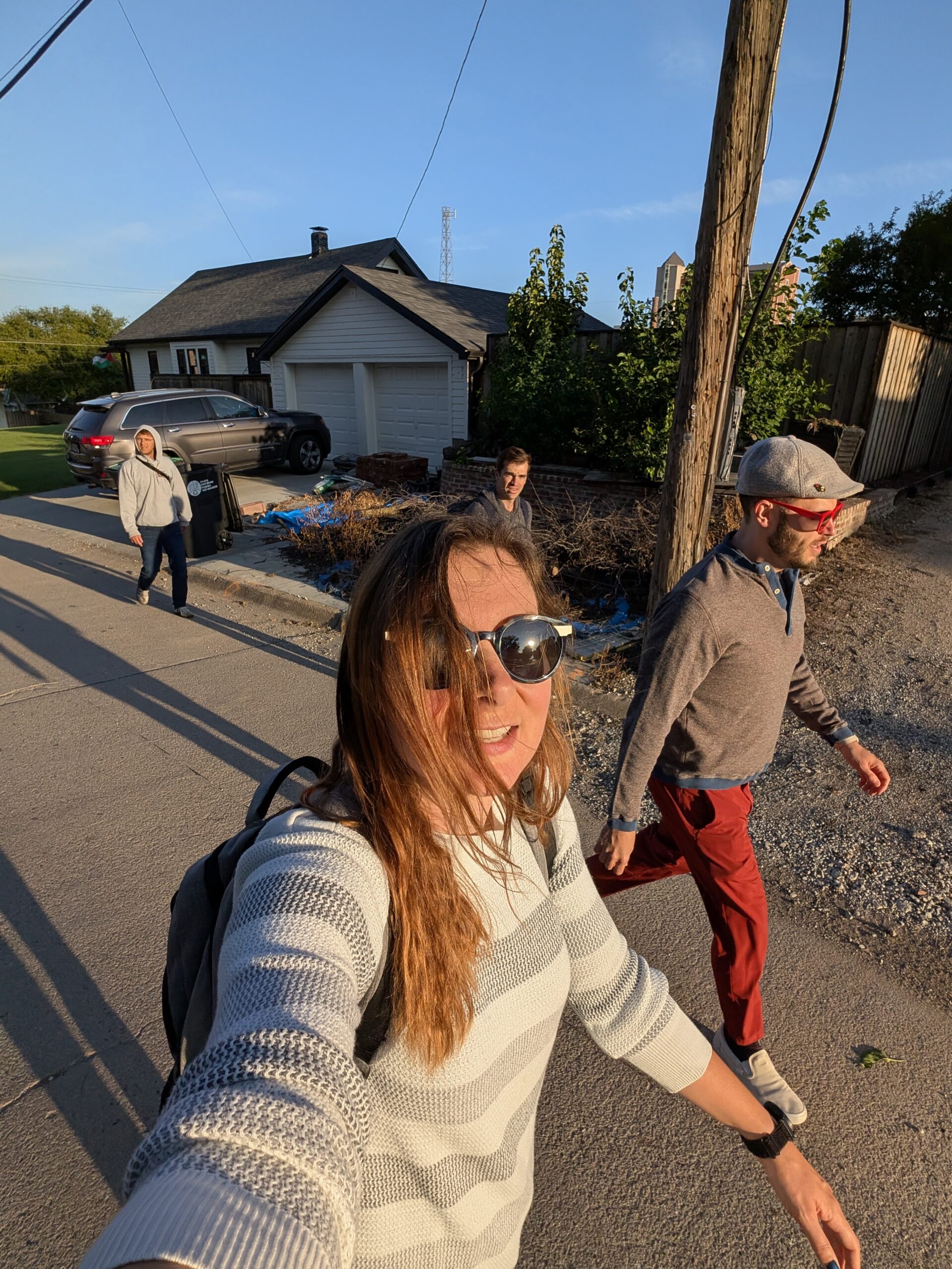
On a brisk September morning, MAPA transportation planners Lindsey Button, Court Barber and Alex Johnson and friend, Matt Jandrain, took to the streets to walk to work. Their purpose – to experience the city’s transportation system as pedestrians, instead of by driving a car, and inform their roles as transportation planners.
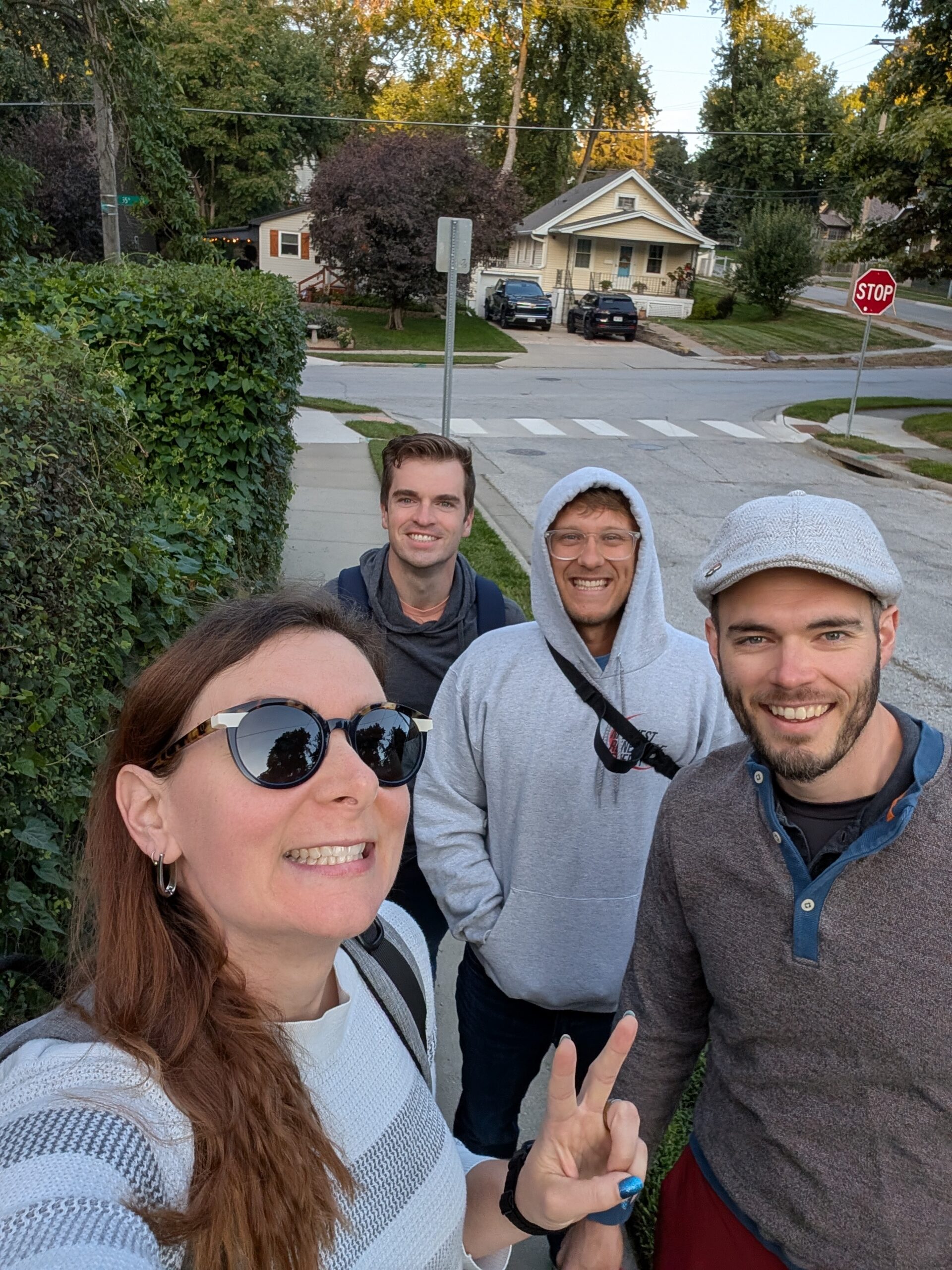
Nearly 5 miles and 1 hour and 43 minutes later they arrived at MAPA offices at 22nd and Cuming Streets armed with a better understanding of what people who walk to get around in Omaha, either by choice or necessity, experience.
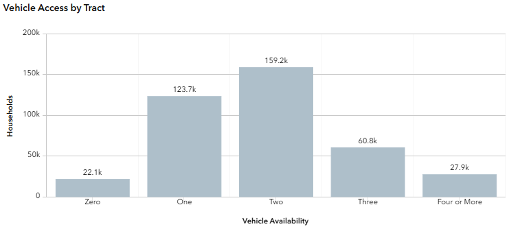
MAPA’s Regional Equity Toolbox shows 22% of people living in the Omaha-Council Bluffs metro region do not have access to a vehicle and must find alternative transportation to get around.
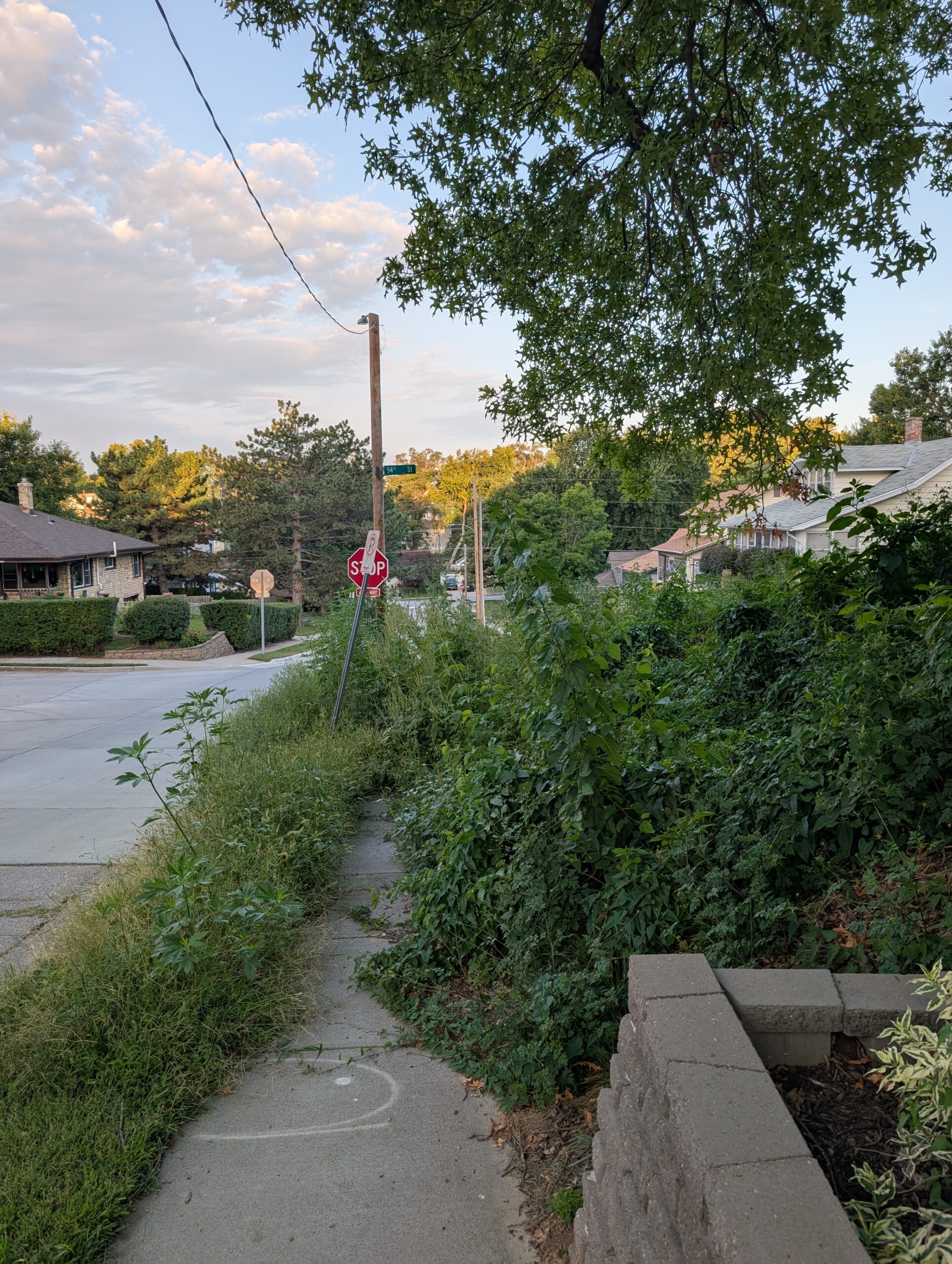
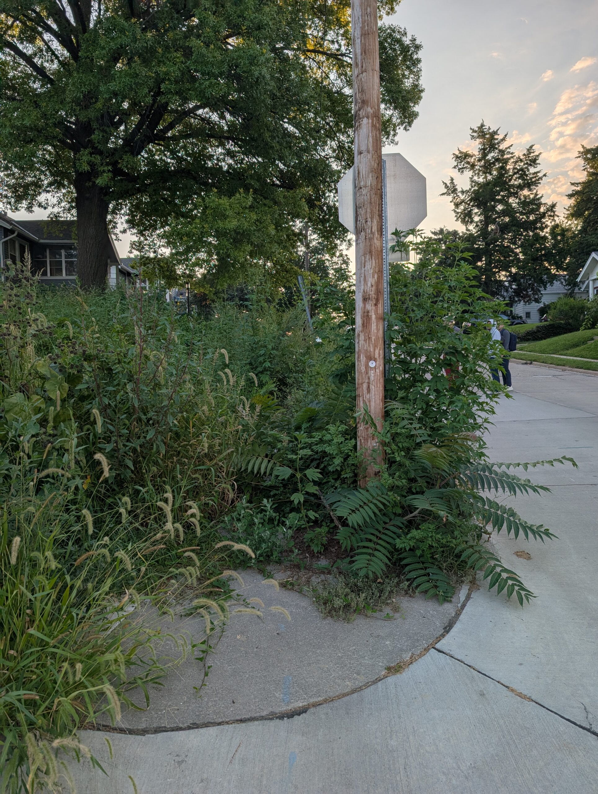
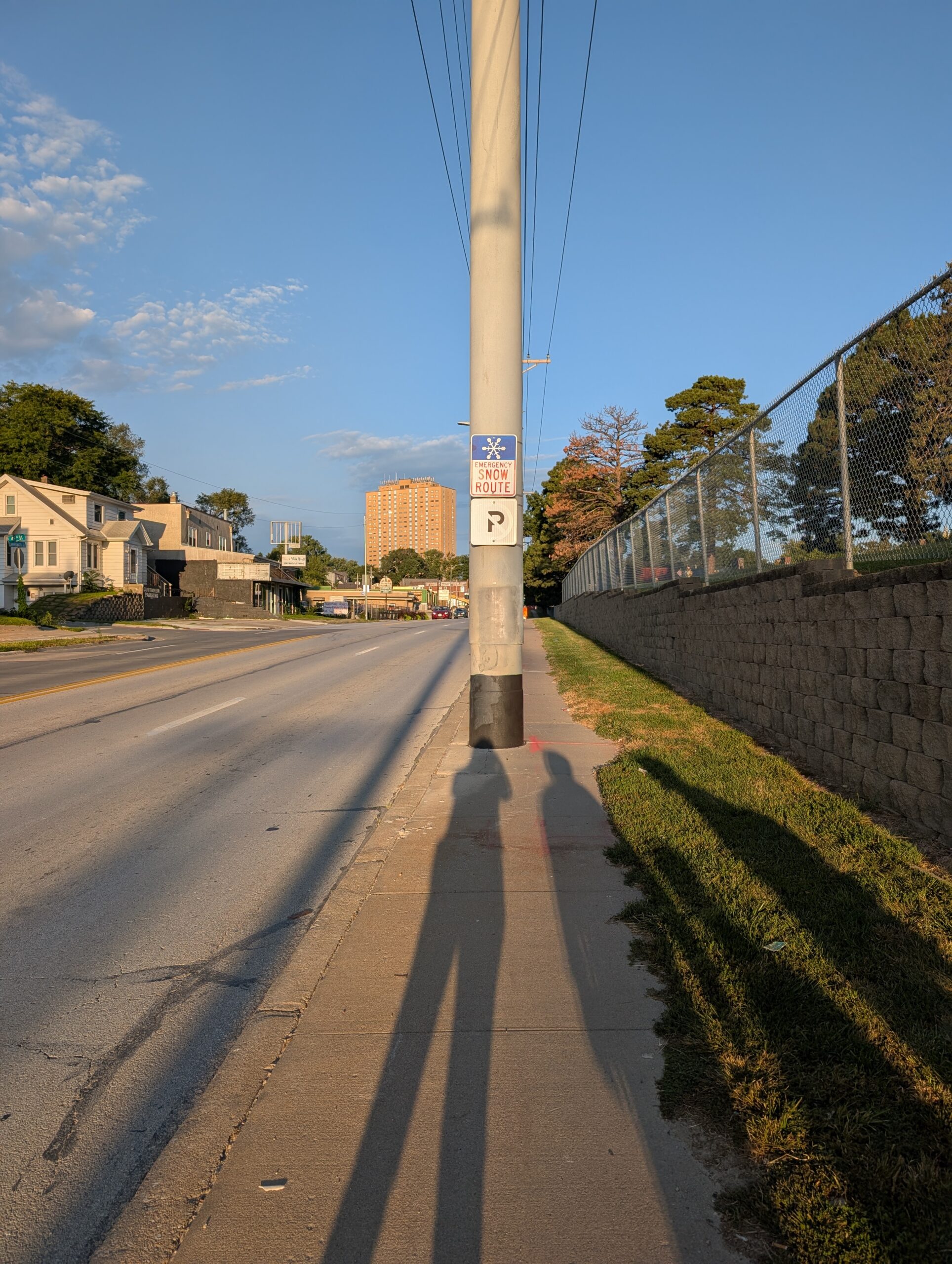
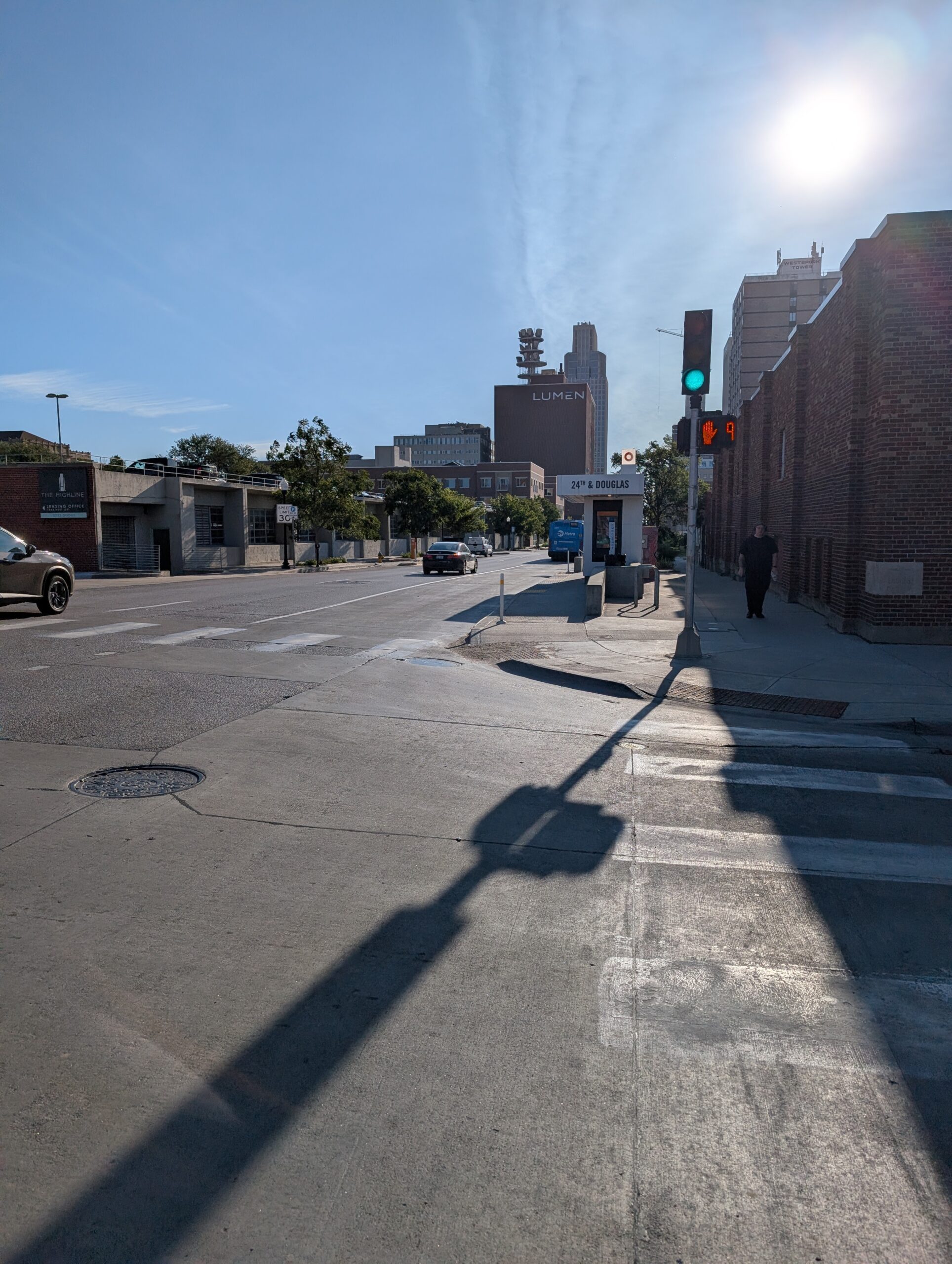
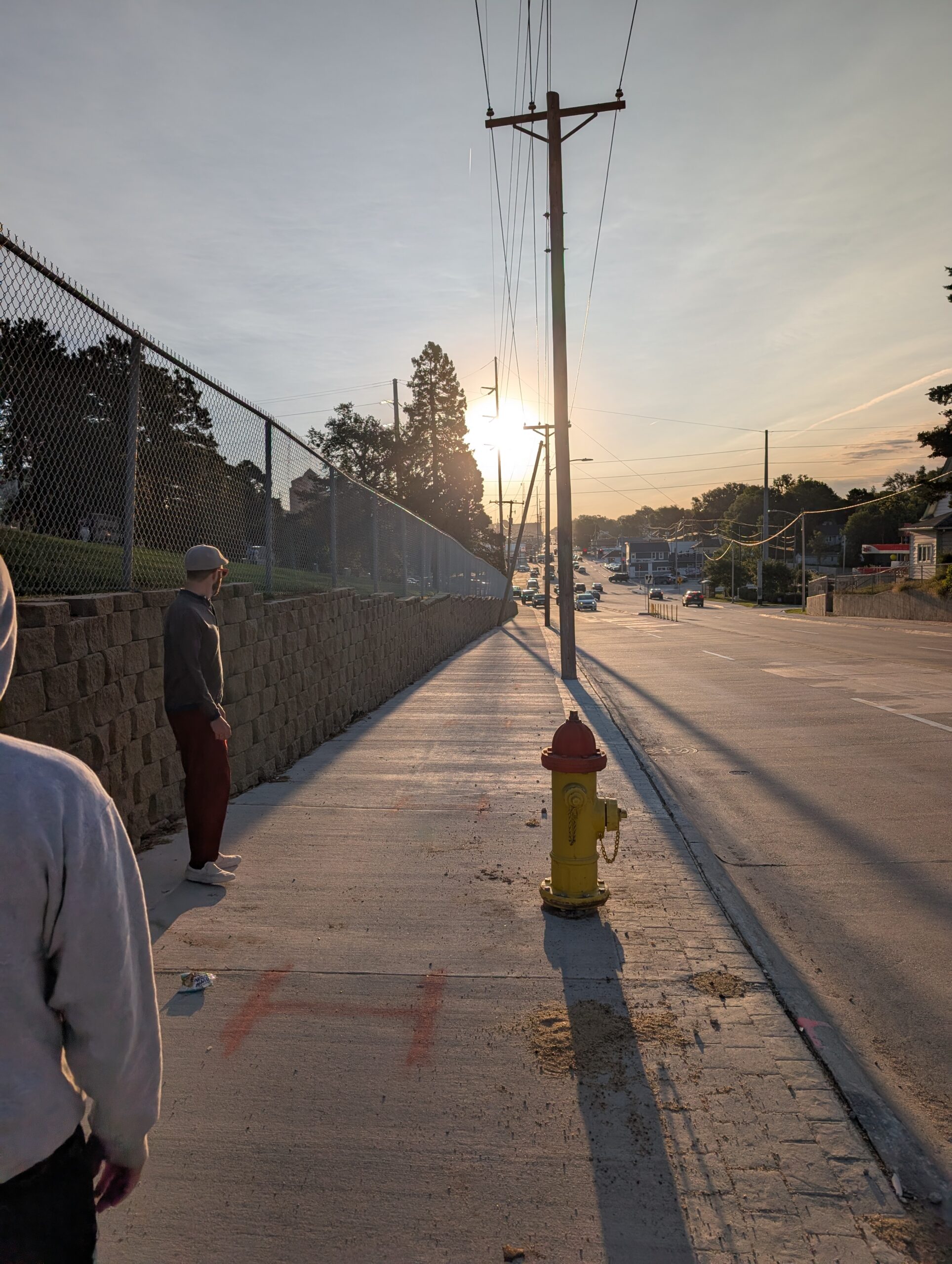
The planners began their commute in Omaha’s Aksarben neighborhood. Along their route they encountered a lack of sidewalks, sidewalks torn up due to construction, utility poles in the middle of sidewalks, overgrown vegetation blocking sidewalk access and a lack of directional signs for route detours.
“I wouldn’t say the walk changed my perspective, but it definitely reinforced my belief that we need to do a better job planning for people—not just cars,” said Lindsey Button, MAPA Transportation Planner. “Everyone starts and ends their trip as a pedestrian, even if it’s just walking to and from a parked car.”
MAPA Transportation Planner Court Barber echoed a similar viewpoint.
“It reinforced my belief that the automobile has taken too much space in urban areas,” said Barber. “Walking should be comfortable and convenient almost everywhere in a city, but the space dedicated to it has been eroded over time and in many places pedestrians have to deal with thin strips of sidewalk that are often blocked by poles for automobile infrastructure.”
For their commute, the four tried to remain on residential streets where there is less traffic and more trees.
“We tried to stick to neighborhood streets during the walk to make it more comfortable, but found ourselves drifting towards Leavenworth because it makes more sense for transportation. This is by design, of course, but it highlights how important it is to have Complete Streets,” said Barber.
Complete Sreets policies are official plans for transportation infrastructure that require streets to be designed, built, and maintained for all users, including pedestrians, cyclists, drivers, and public transit riders of all ages and abilities.
These policies promote safety, accessibility, and mobility by ensuring that every street can accommodate various modes of transportation, as well as provide space for activities like sitting and socializing.
“The corridors currently designed for quick, efficient movement of cars also end up being the preferred routes for walking and biking as transportation. Continuous streets, like major roadways, work well for all modes. Pushing users who would like to choose other options besides the car onto less favorable routes such as residential streets, which tend to be staggered or dead-end, is unwarranted,” Barber said.
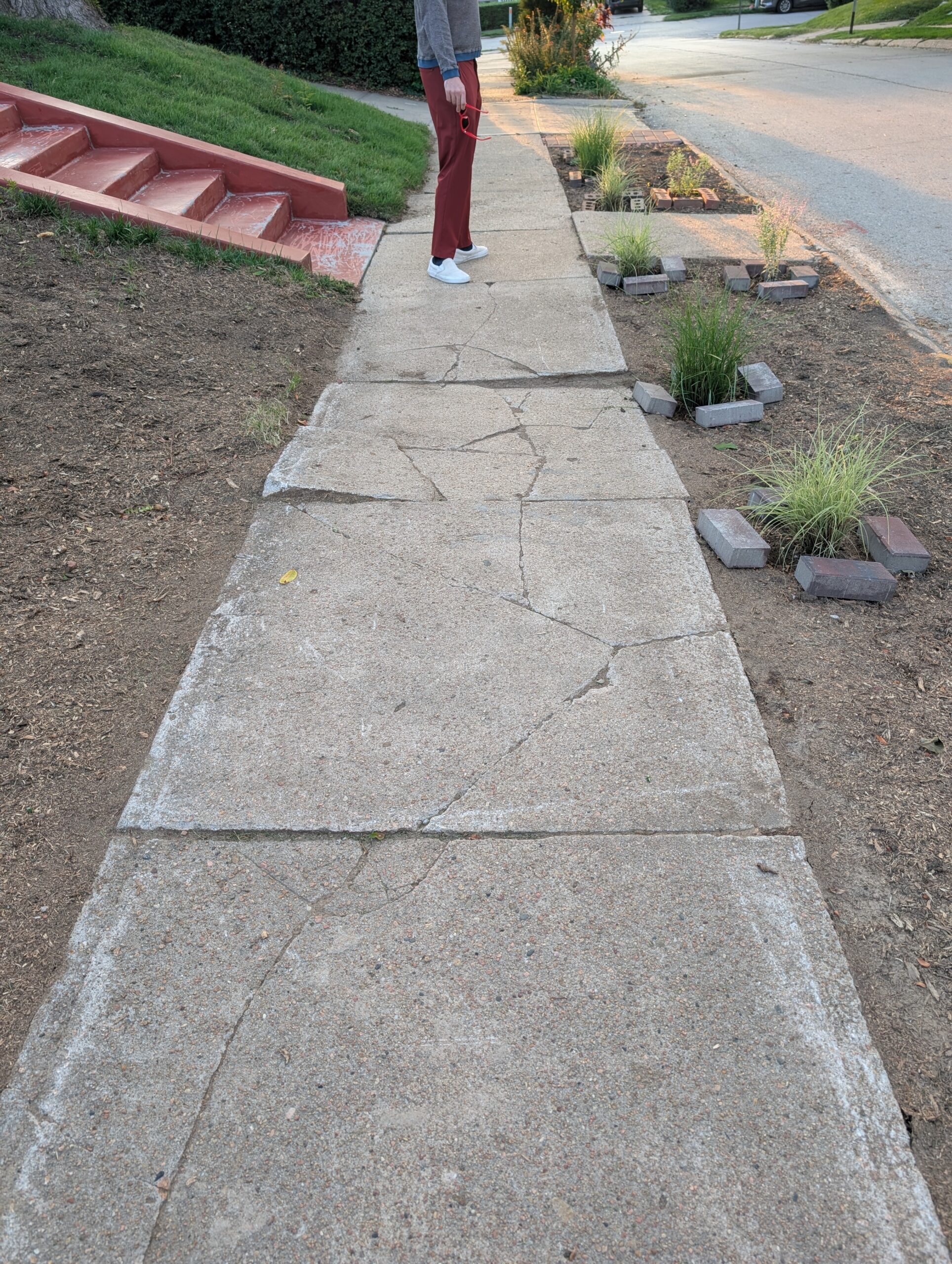
“When you’re walking, every little thing can make a HUGE difference. The road you’re on doesn’t go all the way through, so now you have to go two minutes out of your way to keep going East. All those detours add up. Even as a pedestrian, there are places I can go that someone in a wheelchair could not (due to issues such as damaged sidewalks or utility poles in the middle of the sidewalk),” said Button.
Following their walk to work, these transportation planners have some suggestions on short-term and long-range improvements that would make the areas they traveled safer and more comfortable for pedestrians, such as painting stop bars and crosswalks at intersections.
“It increases visibility, and at least helps inform drivers of where pedestrians will be walking so that they don’t block an intersection and force someone to walk into traffic to get around them,” said Button. “Long term I think it would be great to widen our sidewalks and provide buffers between sidewalks and traffic. A lot of newer developments are making this a priority, which is encouraging, but existing sidewalks also need to be improved.”
Another suggested improvement focused on Leavenworth Street, one of the key streets the four walked during their route.
“Reconfigure Leavenworth from four lanes to three lanes from 52nd Street to St. Mary’s Avenue and add bike lanes to provide a buffer for pedestrians. Other enhancements could be made at intersections to make crossing Leavenworth more comfortable,” said Barber.
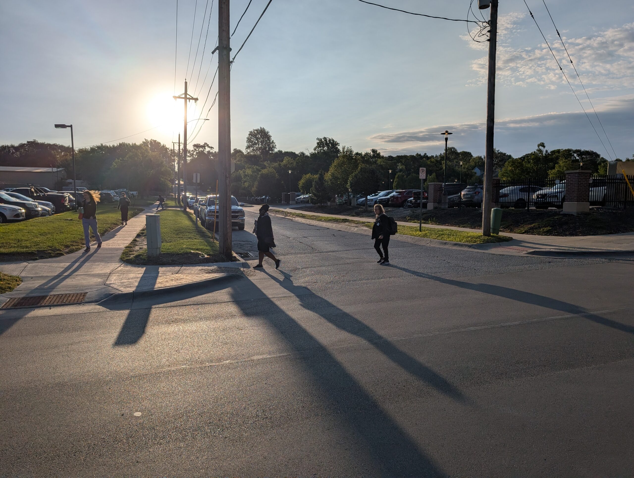
Despite the obstacles and safety issues they encountered during their walking commute, there was one pleasant and encouraging surprise. It came when they walked near Jackson Elementary School on 31st Street just north of the intersection of St. Mary’s Avenue and Leavenworth Street.
“It was drop-off time, and there were so many kids walking and biking to school! I hadn’t expected to see that many people out, especially not kids,” said Lindsey Button.
“It was really encouraging, but it also highlighted how important it is to implement something like Safe Routes to School in our city. Some students were crossing a particularly busy street – very safely, which was impressive – but there’s definitely room for improvement to make those routes safer and more accessible for everyone,” said Button.
“Our goal as transportation planners should be to focus on moving people, safely, comfortably and sustainably, however they choose to get where they’re going.”