Safe Streets and Roads for All (SS4A) MPO
Back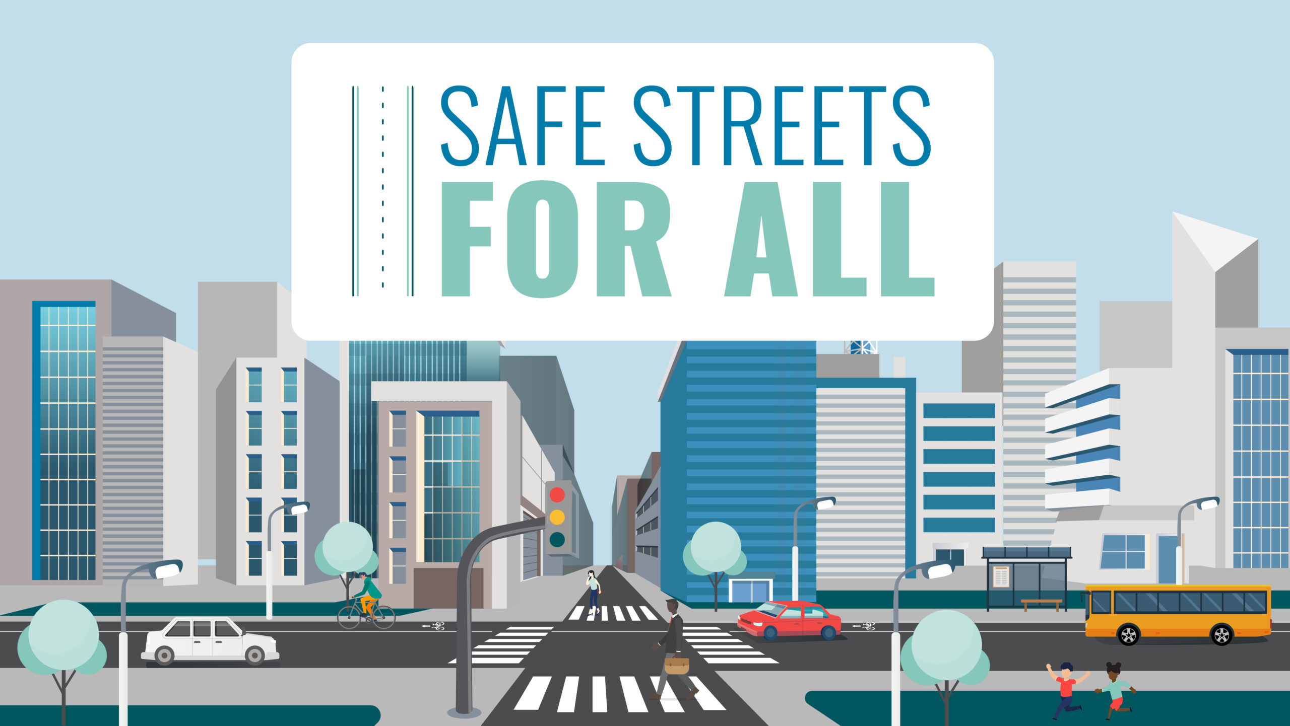

View or download plan appendices:
- Appendix A: (Coming soon!)
- Appendix B: Data Support Technical Memorandum
- Appendix C: Quick-Build Guide
- Appendix D: CSAP Resolution
- Appendix E: Community Profiles
View or download project documents:
Community Profiles are available for each jurisdiction in the MAPA SS4A project area. These profiles highlight the top safety concerns in each area and provide tailored recommendations for improvement. They are closely tied to the work in Chapter 5, which outlines the process of narrowing over 1,000 potential improvements down to 120 Community Priority Projects with the greatest potential to reduce traffic-related injuries and fatalities. More detailed descriptions of these projects can be found within the community profiles.
PRIORITIZED PROJECTS
The map below presents the prioritized projects developed to address safety needs on the High Priority Network. Click the link below to open a detailed dashboard to filter projects by jurisdiction, benefit cost, and Community Priority Projects.
SS4A Prioritized Projects Dashboard
MAPA is also providing a Project Prioritization Tool to assist jurisdictions in developing a program for safety projects.
- Project Prioritization Tool – coming soon!
- Project Prioritization Tool Quick Guide – coming soon!
PROJECT OVERVIEW
To address the dramatic rise in traffic deaths and serious injuries, the US Department of Transportation (USDOT) is making an ambitious long term goal of reaching zero deaths and serious injuries on the nation’s highways, roads, and streets.
Safe Streets and Roads for All (SS4A) is a competitive grant program of the USDOT to improve traffic safety by supporting local communities in the development of safety action plans and the implementation of projects which reduce traffic fatalities and serious injuries on the local road network.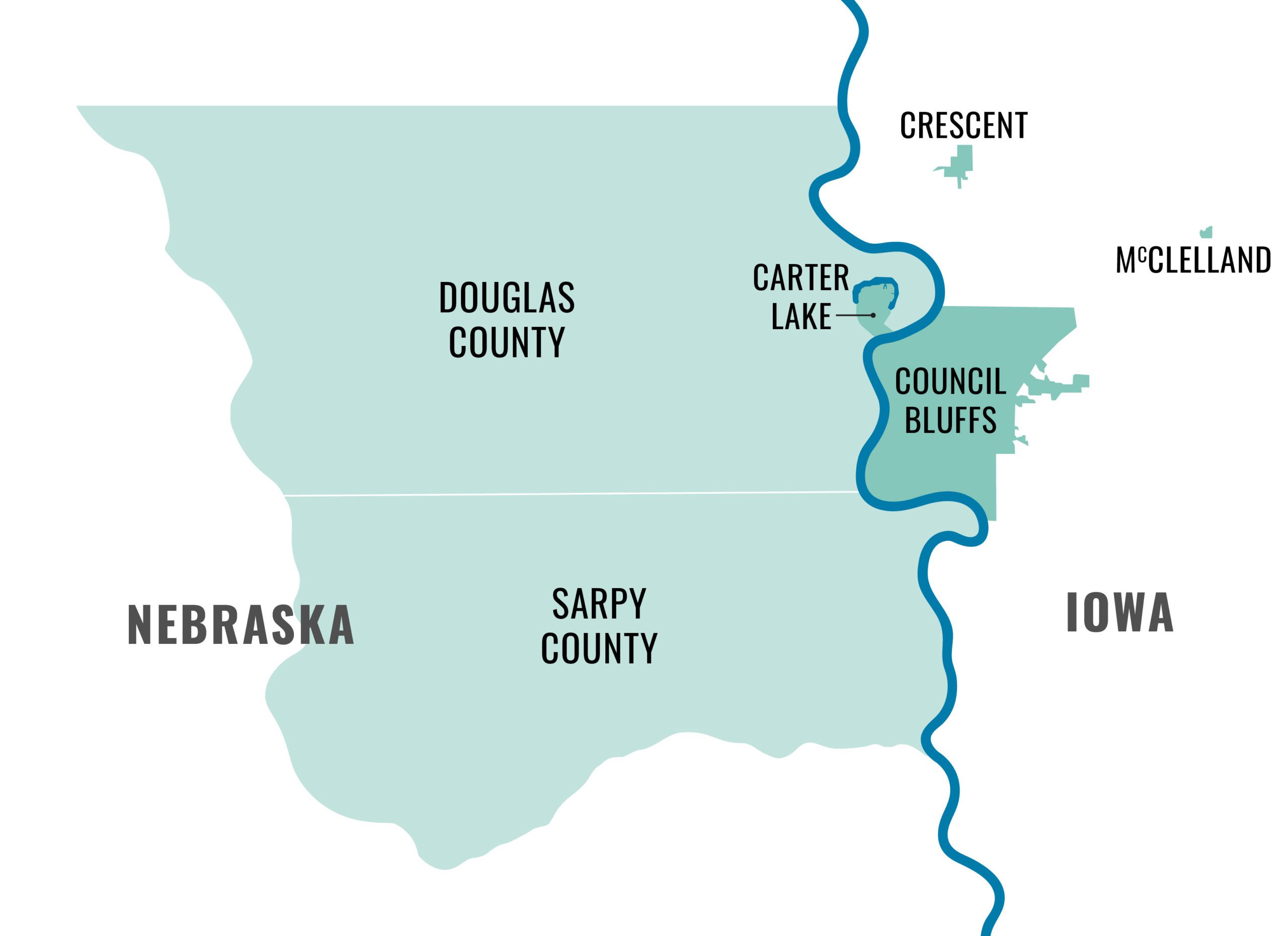
MAPA was awarded planning funds through the FY22 grant application cycle and has developed a regional Comprehensive Safety Action Plan (CSAP). The plan includes the areas of Douglas and Sarpy Counties in Nebraska, as well as the cities of Council Bluffs, Carter Lake, Crescent and McClelland in Iowa.
Through the development of the comprehensive safety action plan, we located key areas of safety concern and established solutions that our member jurisdictions can use to increase safety and reduce traffic fatalities and serious injuries in our region. Strategies and projects included in the CSAP are now eligible for implementation funding.
HOW CAN I GET INVOLVED?
To be successful, this initiative will need a coalition of champions, experts, community members and leaders to advocate for regional safety efforts.
- View and share the project handout
- Invite us to talk about transportation safety to your group or organization
- Schedule a time to talk with MAPA staff about safety projects in your community
- Email us at safestreets@mapacog.org for more information, future updates, and opportunities to get involved!
Reports
Past Events
-
Apr
16
2025
Safety Committee Meeting
Wed, 2:00 PM
Committee Events -
Feb
25
2025
Safe Streets for All Public Meeting
Tue, 4:00 PM
Public Events -
Feb
20
2025
Safe Streets for All Public Meeting – RESCHEDULED
Thu, 4:00 PM
Public Events -
Feb
18
2025
Safe Streets for All Public Meeting – RESCHEDULED
Tue, 4:00 PM
Public Events -
Jan
15
2025
Safety Committee Meeting – January 2025
Wed, 2:00 PM
Committee Events
Agenda -
Dec
4
2024
Safety Committee Meeting
Wed, 2:00 PM
Committee Events -
May
8
2024
Safety Committee Meeting – May 2024
Wed, 2:00 PM
Committee Events
Agenda