(Click for Video)
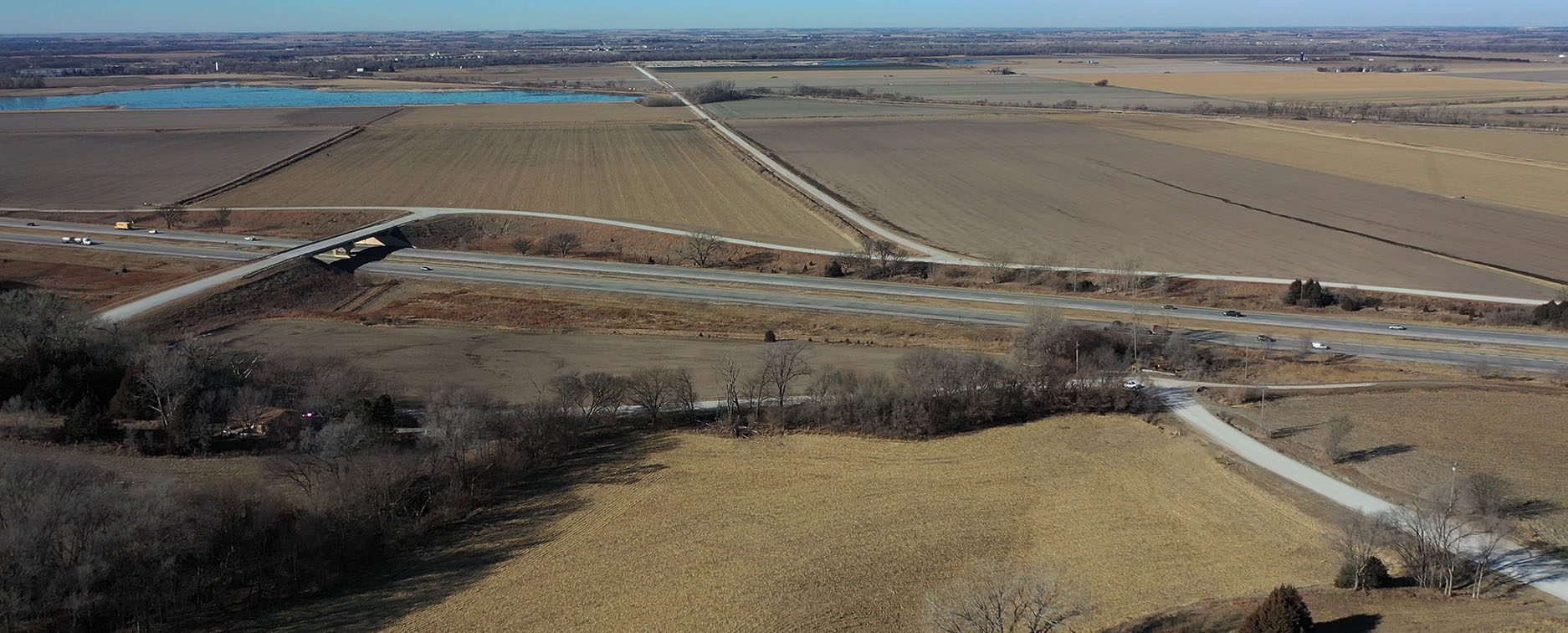
This concept was included because Pflug Road has an existing bridge over I-80 and has been considered in numerous previous studies for an interchange. It provides possible benefits of utilizing the existing bridge and roadway network, and may provide opportunities to connect to US-6, as well as a western extension of the Platteview Expressway in the distant future. There would need to be reconfigurations of the immediate roadway network as the bridge is off set from the mile-line grid, which would have additional impacts to surrounding natural features, such as the steep bluffs, Platte River floodplain, Holy Family Shrine, potential historic resources, and a new residential subdivision platted north of Pflug Road and east of 228th Street.

Through ongoing coordination with study partners, input from the public, and discussions with regional stakeholders a number of Project Goals were identified to evaluate each alternative. These goals are intended to determine how the alternative benefits municipalities, encourages economic vitality and placemaking, fosters environmental sustainability, and provides for multi-modal connectivity.
In the following survey please let us know how the alternative addresses each goal (click for more information):
Sarpy County has been growing rapidly in the last decade, and continues to grow at a rapid pace. Nearly $20M in roadway improvements have been recently completed north of the study area to develop a new roadway system in a 9-square mile area, and more improvements are planned. Gravel roads in the Study Area are being paved as new development occurs. Projects coming out of this study should complement and accommodate these existing and planned improvements.
Growth in the Study Area will accelerate as the new Sarpy County Wastewater Agency expands new sewer infrastructure across its service areas over time. New urban growth areas may be added as new developments are proposed and funds additional improvements. New access to the Interstate may focus development in the immediate area of an interchange, so any projects coming out of this study should be evaluated for how well they encourage the appropriate growth and encourage vitality in line with the plans by the Wastewater Agency. Furthermore, they should be evaluated for how well they contribute to a sense of place in keeping with the Cities’ comprehensive plans.
There are numerous resources in the Study Area that may be impacted by a new access to the interstate, including streams, floodplains, historic resources, prime farmland, residential homes, commercial businesses, utilities, and more. Minimizing impacts to property owners and these resources should be a priority, and projects coming out of this study should be sensitive to them.
With new development already occurring, there is a growing need to plan for future multi-modal connectivity in the Study Area. With plans in place for future transit corridors, any projects coming out of this study should be evaluated for their ability to accommodate these future plans, and provide for connections to trails and recreational features, transit routes, and possibly inter-city routes (i.e. between Omaha and Lincoln, and between Sarpy County and Omaha).
Jim Boerner
MAPA Transportation Planner
402-444-6866 x3231
jboerner@mapacog.org