(Click for Video)
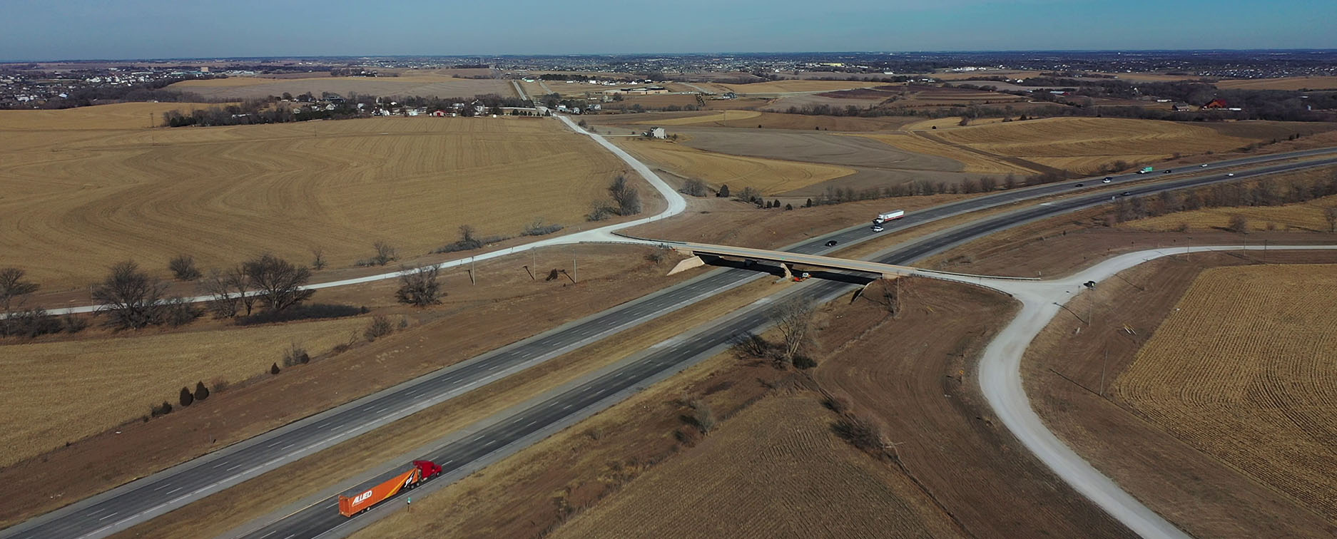
This alternative concept was included due to the presence of an existing bridge over I-80 that carries 192nd Street and Capehart Road, and its location on the mile-grid system. 192nd Street has also been recently paved to the north of Schram Road to N-370, and north of this point it has been realigned to become a major arterial into Douglas County to the north. Also, Capehart Road has been recently paved to the west of the interchange and is being paved coming from the east at N-50. This location offers the opportunity to provide access to the growing and developing Study Area, and has relatively fewer impacts, as it sits at the high point of the watershed ridgeline. There are two communications towers along Capehart Road to the east of 192nd Street, and a few scattered farmstead residences. There is also property owned by Vala’s to the east of 192nd Street, north of I-80 that is used for commercial pumpkin growing. This location is also the ‘agreed upon’ location by both Papillion and Gretna for a future boundary agreement line that was recently approved and confirmed by Gretna’s annexation of nearby land north of the interstate.