(Click for Video)
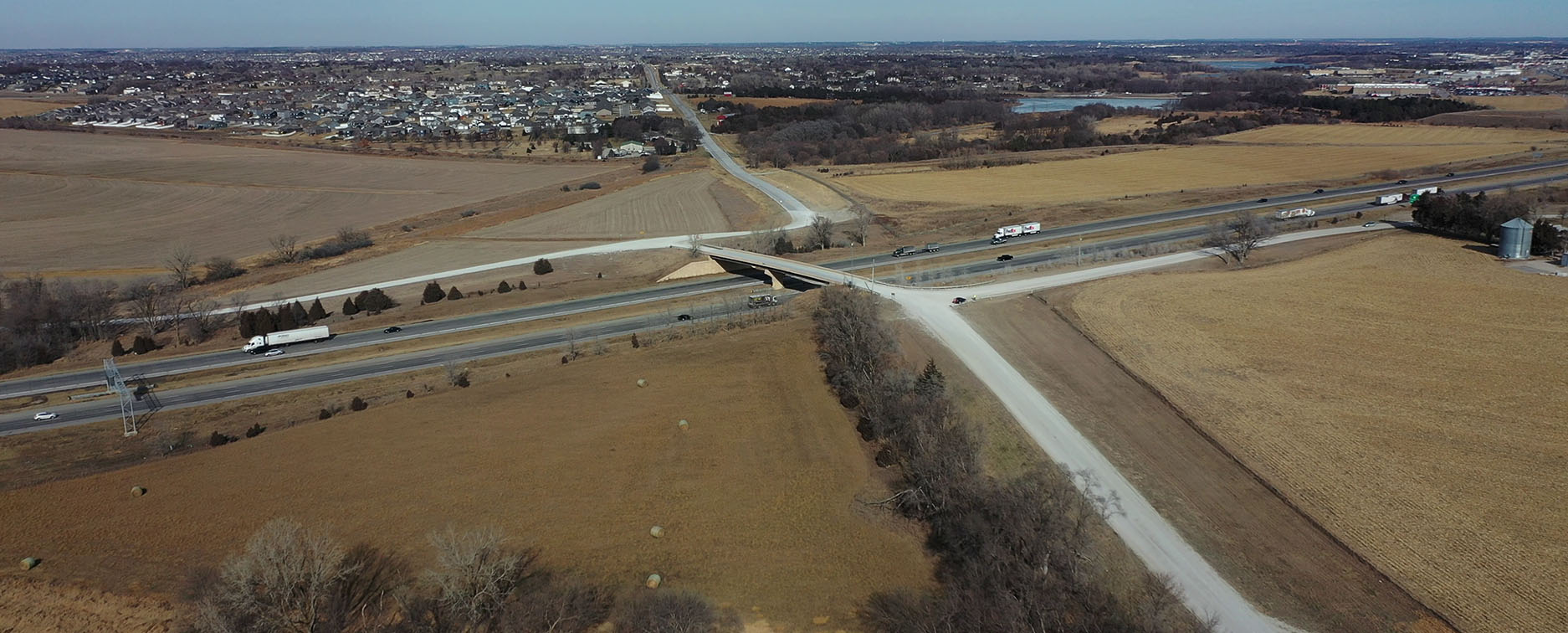
This concept was considered due to the location of an existing bridge over I-80 at Schram Road and 168th Street. This location offers opportunities to connect to the local roadway network without major changes to the mile-grid, but it is somewhat close to the existing N-370 interchange. It is almost 1.5 miles, so the weaving/merging conflicts would not be impossible, especially considering the more urban nature of the location. This location also offers opportunities to provide inter-connected access (i.e. on and off I-80 within a shorter distance that is desirable for freight and truck movements) similar to the N-370/N-50 area. There are also a number of new developments occurring in this area that would possibly limit changes to the roadway network, whereas a ‘half’ interchange could still be effective (i.e. exit off I-80 eastbound onto Schram Road and 168th Street, or enter I-80 westbound from southbound 168th Street).